About This Route
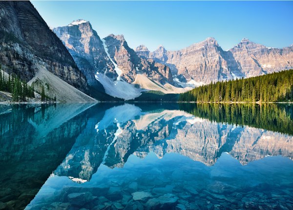
This route starts at the Lake Louise lakeshore near the Chateau and follows the designated shoreline trail. Parks Canada lists 2.3 km one way and about one hour for a return outing. Its current summer page reports 175 m of cumulative ascent and 75 m of descent, which differs from older brochures describing minimal gain. Allow for undulations and check the official route map rather than treating the entire outing as flat.
Lake, glacier and mountain views depend on weather and light. The trail is not a circuit around the lake and does not require crossing lake ice. Choose a turnaround that fits conditions and the group; continuing towards Plain of Six Glaciers is a separate, longer mountain route.
Highlights
Trailhead Information
Lake Louise Lakeshore parking
Roam Route 8X; Parks Canada shuttle in its operating season
Verify operating dates, stops, reservations and the last return. A summer route or hotel shuttle does not establish winter service.
The trailhead is at Lake Louise lakeshore, separate from the village. Check Roam Route 8X for your date and the seasonal Parks Canada shuttle reservation rules. A bus or parking space does not establish trail access.
Indicative Route Area
The marker shows an approximate listing location, which may be a general destination area. It is not a verified trailhead coordinate or parking entrance. No verified route line is supplied. Use the official route map and on-site signs for the actual start and navigation; nearby paths are not automatically part of this trail.
Season and Preparation
Use the official winter lakeshore route and current notices. Lake appearance and calendar dates do not establish ice safety. Avoid the avalanche slopes and falling-ice area near the back of the lake.
Read the route-specific official report, closures and weather before choosing the outing. A permanent guide does not report today’s access.
Leave your route and return plan with someone. Decide a turnaround that fits the group, actual conditions and daylight.
Carry navigation, a headlamp, suitable layers, first aid, food and enough water for the actual outing. Check the packing guide for a fuller checklist.
A summer difficulty grade is not a winter suitability assessment. Snow and avalanche terrain require separate planning, training and equipment.
Check Latest Trail Conditions
Read the official trail report and current park bulletins before travelling. A route guide and a dated notice do not confirm today’s access.
Official trail report →More Trails in Lake Louise
Explore other trails and destinations nearby.
Illustrative stock photo
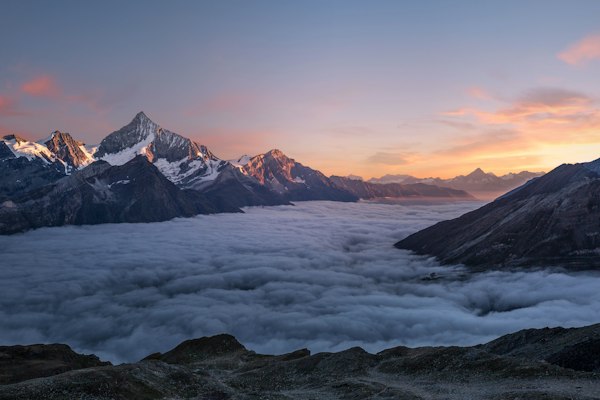
Fairview Lookout
📏 1.2 km one way · ⬆️ 100 m one way · ⏱️ About 45 min estimated return
Illustrative stock photo
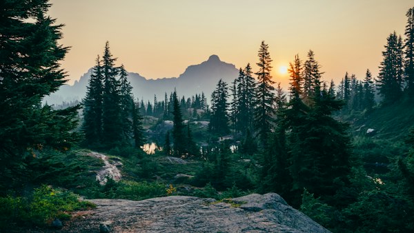
Bow River (Lake Louise)
📏 Up to 5.7 km one way; choose a section · ⬆️ 25 m in published profile · ⏱️ About 2 hr published return estimate; varies with section
Illustrative stock photo
Rockpile
📏 0.7 km loop · ⬆️ 35 m · ⏱️ 30 min
Illustrative stock photo
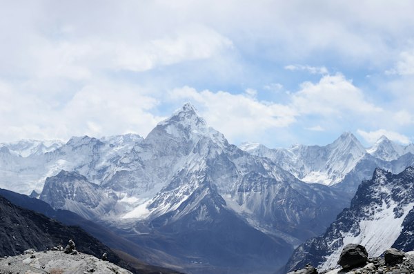
Moraine Lake Lakeshore
📏 1.3 km one way · ⬆️ Minimal (official profile; not a measured zero) · ⏱️ About 45 min estimated return