About This Route
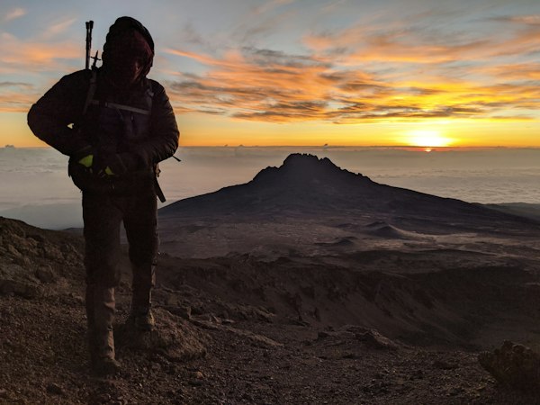
Wenkchemna Pass is the longer objective reached by continuing along the Eiffel Lake corridor. The 9.6 km one-way total begins at Moraine Lake; it is not an extra distance measured from Eiffel Lake. Its elevation gain and loss make the complete outing substantially more demanding than turning around on the shorter lake-view route.
Choose this pass only within a complete day plan that fits the group, current mountain conditions and the real transport return. Do not combine it casually with another long Moraine hike because they share a trailhead. The pass is the stated endpoint here; no onward backcountry connection or summit extension is included.
Highlights
Trailhead Information
Moraine Lake; route via the Eiffel Lake branch
Moraine Lake Road is closed to personal vehicles year-round. Arrange authorized seasonal transport and its return before choosing the hike. Parks Canada shuttle check-in is at the ski-resort Park and Ride, not Lake Louise village or lakeshore. The published 2026 season ended October 12; check the operator for a future season.
Verify operating dates, stops, reservations and the last return. A summer route or hotel shuttle does not establish winter service.
Use the designated trailhead and current official route map. Check the trail report, road access and park bulletins before travelling; a published hiking profile does not confirm that the route or parking is available today.
Indicative Route Area
The marker shows an approximate listing location, which may be a general destination area. It is not a verified trailhead coordinate or parking entrance. No verified route line is supplied. Use the official route map and on-site signs for the actual start and navigation; nearby paths are not automatically part of this trail.
Season and Preparation
Parks Canada identifies avalanche exposure on this summer route and does not recommend travel from mid-October to mid-June. This is not a winter hiking recommendation. Check the current avalanche bulletin, trail report and park restrictions.
Read the route-specific official report, closures and weather before choosing the outing. A permanent guide does not report today’s access.
Leave your route and return plan with someone. Decide a turnaround that fits the group, actual conditions and daylight.
Carry navigation, a headlamp, suitable layers, first aid, food and enough water for the actual outing. Check the packing guide for a fuller checklist.
A summer difficulty grade is not a winter suitability assessment. Snow and avalanche terrain require separate planning, training and equipment.
Check Latest Trail Conditions
Read the official trail report and current park bulletins before travelling. A route guide and a dated notice do not confirm today’s access.
Official trail report →More Trails in Lake Louise
Explore other trails and destinations nearby.
Illustrative stock photo
Lake Louise Lakeshore
📏 2.3 km one way (4.6 km return) · ⬆️ 175 m (current summer guide) · ⏱️ About 1 hr return; conditions vary
Illustrative stock photo
Fairview Lookout
📏 1.2 km one way · ⬆️ 100 m one way · ⏱️ About 45 min estimated return
Illustrative stock photo
Bow River (Lake Louise)
📏 Up to 5.7 km one way; choose a section · ⬆️ 25 m in published profile · ⏱️ About 2 hr published return estimate; varies with section
Illustrative stock photo
Rockpile
📏 0.7 km loop · ⬆️ 35 m · ⏱️ 30 min