About This Trail
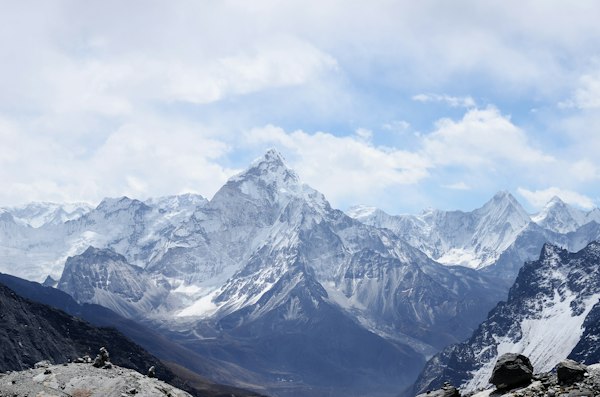
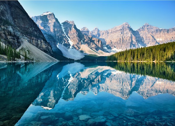
Glacier Lake is one of the largest backcountry lakes in Banff National Park, reached by a lengthy trail that undulates through dense forest with relatively modest elevation change. The lake stretches over 3 kilometres and is backed by glaciated peaks, offering a genuine wilderness lake experience. The flat terrain and reasonable net elevation make this accessible to persistent hikers, though the sheer distance demands an early start and a full day's commitment.
Highlights
Trailhead Information
1 km N of Saskatchewan Crossing
This trail is not accessible by public transit. A personal vehicle or taxi is required.
Trail Location
Safety Tips
Carry bear spray and know how to use it. Bears are active throughout Banff National Park.
Check trail conditions on the Parks Canada website before heading out.
Tell someone your hiking plan — where you're going and when you expect to return.
Bring layers. Mountain weather can change rapidly, even in summer.
Carry at least 1 litre of water per person. There are no water stations on most trails.
Check Latest Trail Conditions
Always check the official Parks Canada page for current conditions, closures, and advisories before heading out.
View on Parks Canada →More Trails in Icefields Parkway
Explore other trails and destinations nearby.